Map reading and land navigation for cadets
Grid references, bearings and mils finally click when you can see them live on a map. MGRS Cardinal shows the grid under your finger, anywhere, so you can practise before the field exercise and check yourself during it.
See any grid reference, live Free
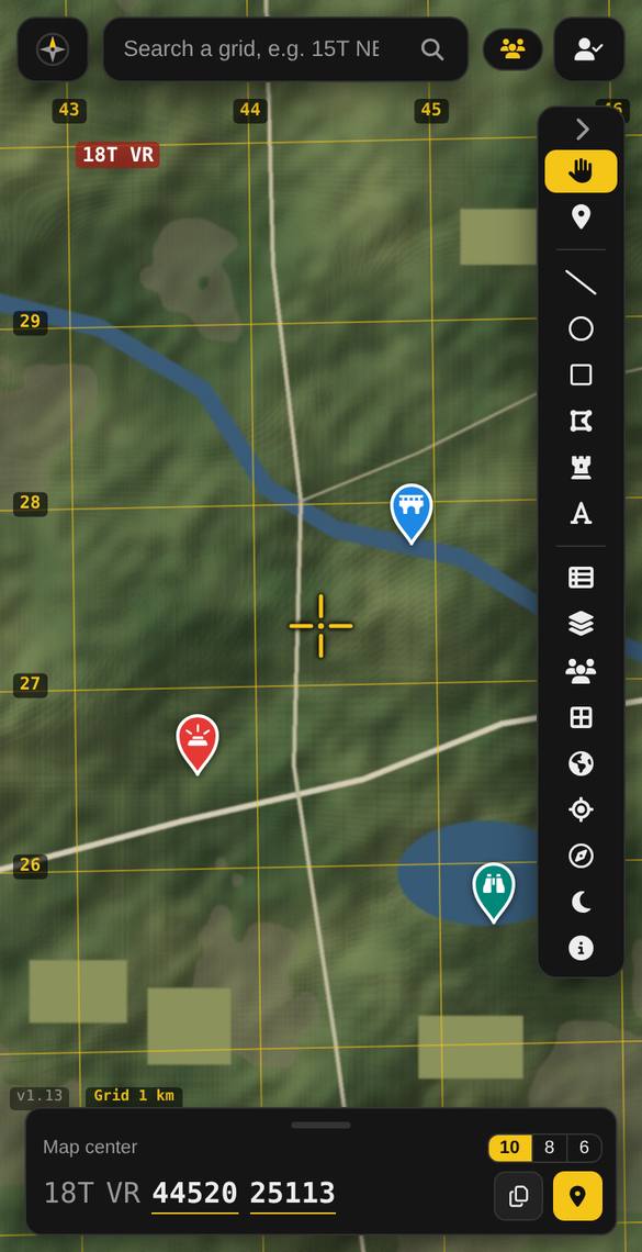
Move the map and the 6, 8 or 10-figure grid under the crosshair updates instantly. Turn on the grid lines to see the 1 km squares labelled exactly like a topo map: perfect for practising “right, then up”.
Understand bearings in mils Pro
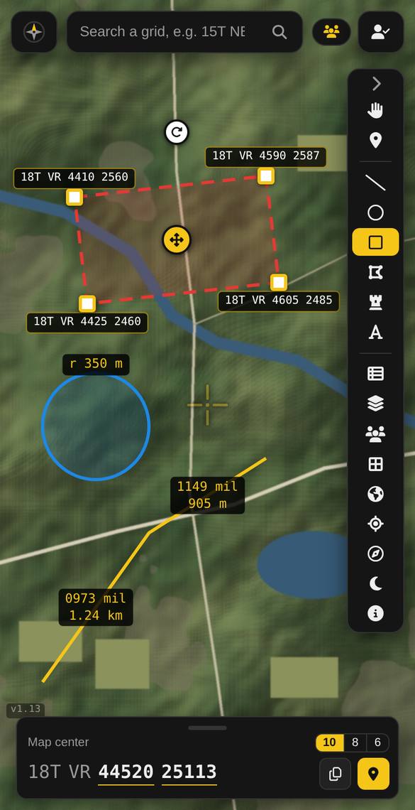
Draw a line between two points and read its bearing in mils or degrees, from grid, true or magnetic north. Compare it with your compass to see how declination works.
Walk to a checkpoint Pro
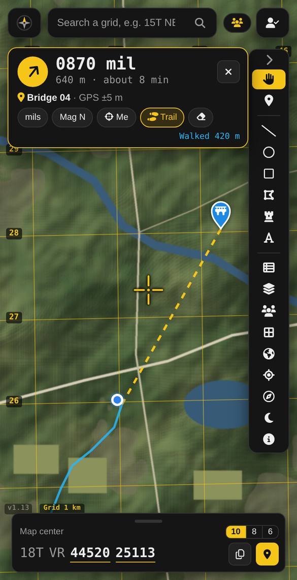
Drop a pin on a checkpoint, tap Go to, and follow the live bearing and distance. The big walking display and red night mode help on night navigation exercises.
A mil compass on your phone Pro
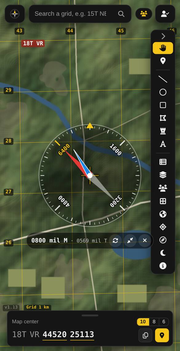
The compass shows magnetic north (red) and true north (blue) on a mil ring, so you can see the declination for your area with your own eyes.
For instructors and corps
Create a team map Premium to share checkpoints, routes and your training area with a whole section. Lay the training area map (PDF) over the satellite map, lined up with the grid. Contact us about plans for a whole corps or squadron.
Learn the basics
New to grids? Start with How to read an MGRS grid, then practise with the MGRS converter.
Questions
Is it free?
Yes. The live grid, grid lines, pins and the satellite map are free, with no account needed. Pro adds bearings, Go to and the compass; Premium adds team maps.
Can I use it on an exercise?
Follow your staff’s instructions: many exercises require navigating with a map and compass only. MGRS Cardinal is great for learning, planning and checking yourself, and should never replace your map and compass.
Does it work without signal?
Your GPS position works without signal, but the background map needs a connection to load. Open the area before you go out, or load your training area map as a PDF overlay, which is saved on your phone.
Try it now: free, no account needed
Open the map, move the crosshair, and read your first grid. Android users can also get the app on Google Play.
Open MGRS Cardinal Join the community