Grids, mils and symbols, on your phone
MGRS Cardinal speaks your language: 10-figure grids, bearings in mils, grid/true/magnetic north, a mil compass, NATO-style unit symbols and red night mode. Built for training, planning and personal use.
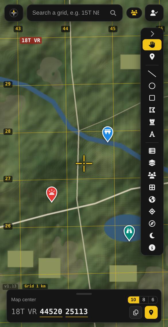
Grids and grid lines Free
The live grid under the crosshair at 6, 8 or 10 figures, and true UTM grid lines from 100 km down to 100 m, labelled like a 1:50,000 sheet.
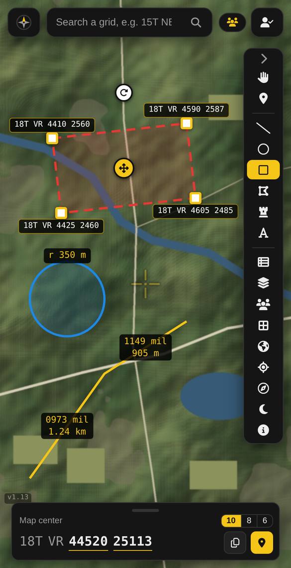
Bearings in mils Pro
Measure bearings and distances in mils or degrees, from grid, true or magnetic north (World Magnetic Model), with corner grids on areas.
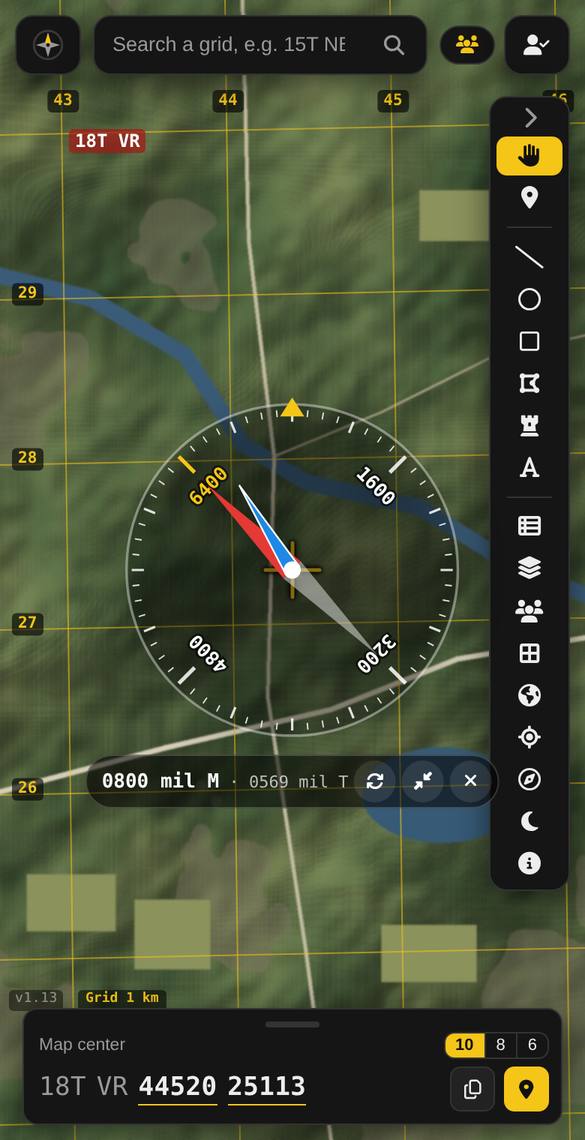
Mil compass and Go to Pro
A mil compass showing magnetic and true north, and live navigation to any pin with the big walking display and red night mode.
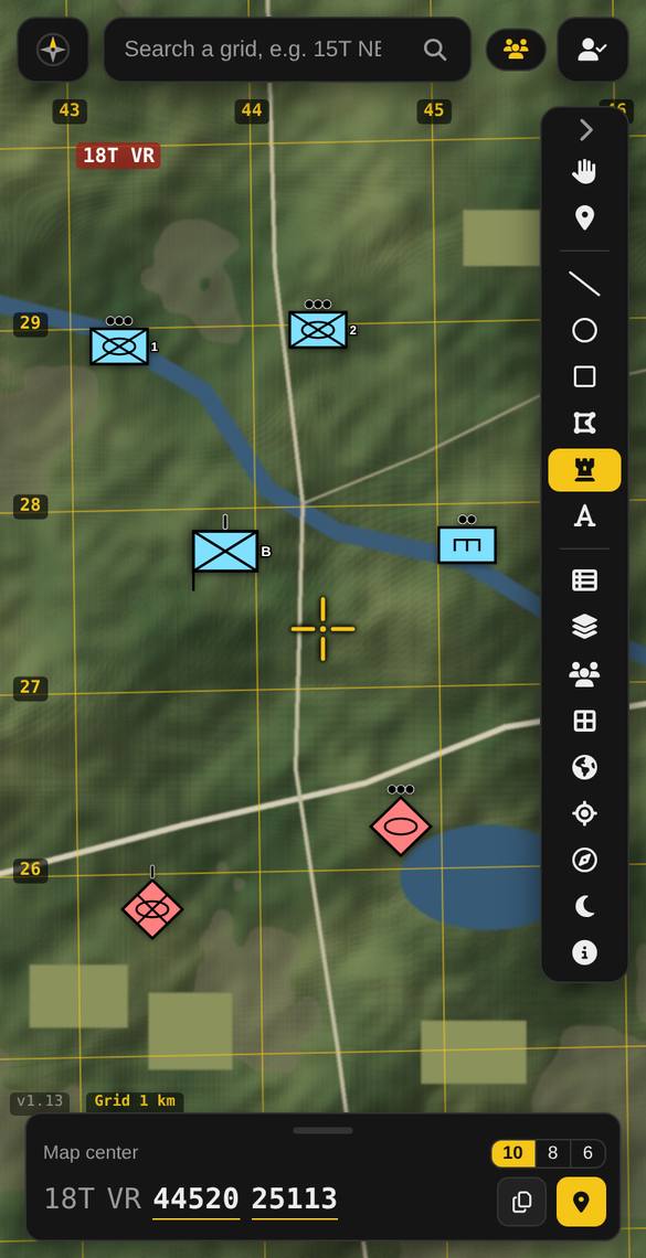
Unit symbols Premium
NATO-style unit symbols: friendly, hostile, neutral or unknown; infantry, armour, artillery, engineers and more; dismounted, mechanized or motorized; team to division.
Light data Premium
BMNT, BMCT, sunrise, sunset, EECT, EENT, and moon illumination for any grid and date.
Team maps and training area overlays Premium
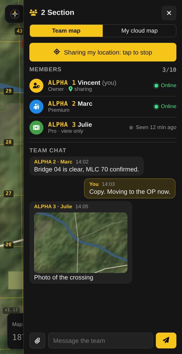
Share a live map with up to 10 people, with call signs and chat, and lay a PDF training area map over the satellite map, lined up with the grid.
Important
MGRS Cardinal is an independent app made in Alberta, Canada. It is not affiliated with the Department of National Defence or the Canadian Armed Forces, and it is not an approved system. Use it for training, planning and personal use only, never for classified or operational information, and follow your unit’s rules on personal devices.
Questions
Are the grids accurate?
Grids are calculated with standard WGS 84 / UTM formulas and match NATO topographic maps. Your own position depends on your phone’s GPS, usually within a few metres outdoors.
Can it export to ATAK or Google Earth?
Yes: save your map as KML (Pro) for ATAK, Google Earth and GIS. ATAK data packages with military icons are on the roadmap.
Is it free?
The live grid, grid lines and pins are free. Pro adds mils, the compass and Go to; Premium adds unit symbols, team maps, overlays and light data.
Try it now: free, no account needed
Open the map, move the crosshair, and read your first grid. Android users can also get the app on Google Play.
Open MGRS Cardinal Join the community