Precise grids and a shared map for search and rescue
When every minute counts, a grid reference is faster and clearer than a street address or a string of decimal degrees. MGRS Cardinal gives your team one live map: precise grids, positions, pins, search areas and chat.
Pass a position in seconds Free
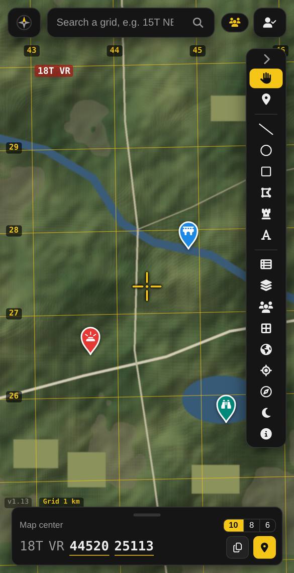
Read the grid of any spot, or of your own position, at 6, 8 or 10 figures, and copy it with one tap. The grid lines match paper topographic maps.
One map for the whole team Premium
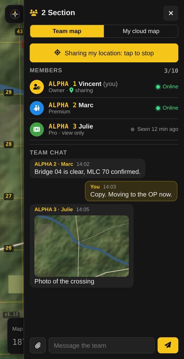
A team map (up to 10 people) syncs every pin, line and area live. Members can share their live position with call signs, and team chat carries messages, photos and files.
Mark search areas and clues Pro
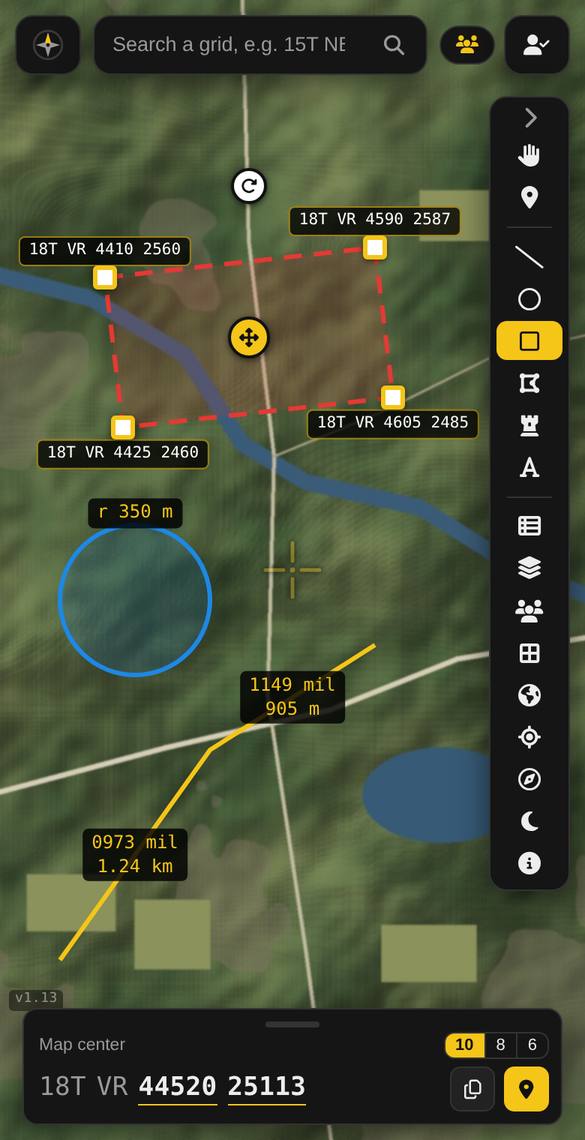
Draw search areas, lines and circles with their measurements, and mark clues, hazards and points last seen with pins and notes. Lock important items so no one moves them by accident.
Navigate to an assignment Pro
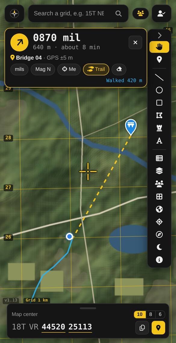
Go to gives a live bearing and distance to any pin, with the path you walked, a big walking display, a mil compass and red night mode for night operations.
Use your own maps Premium
Lay a PDF or scanned map over the satellite map, lined up with the grid. GeoPDFs place themselves automatically.
For teams and organizations
Contact us about plans for a whole SAR group. Group plans are on our roadmap.
Questions
Does it replace our official tools?
No. MGRS Cardinal is a navigation and coordination aid for volunteers. Always follow your team’s procedures and your search manager’s tools and instructions.
Does it work without signal?
GPS positions work without signal, but the background map and team sync need a connection. Load your area and any PDF maps before deploying.
Who can see our team map?
Only the members of your team. Location sharing is off until each person turns it on.
Try it now: free, no account needed
Open the map, move the crosshair, and read your first grid. Android users can also get the app on Google Play.
Open MGRS Cardinal Join the community